Drones have become a cultural force in the past few years, thanks to their being relatively inexpensive and yet capable of quick movement and great maneuverability. They’ve become mainstay stars of online videos, are being employed to deliver packages across short distances, and are even transforming the architectural and construction industries.
Curious about how drones are helping to change the game for professionals working in the architectural space? Here are a few of the reasons why you may work alongside them in your future career.
Drones Can Help Scan Buildings and Locations for Professionals With CAD Training
Architectural models should be an accurate reflection of what the finished structure will look like. This typically involves designing from specifications or taking the time to survey or measure landscapes or structures in order to get the data necessary to recreate them digitally inside of a building information modeling (BIM) application. These are all skills that are honed in architectural CAD courses, and which continue to be the primary method of completing this kind of work today.
Drones offer an option that can speed up the process of gathering this information and getting CAD professionals into the process of doing modeling work more quickly. By attaching a scanning rig to a drone and having it fly around a designated building or area, it’s possible to quickly and effectively create a high-quality scan for import into an application. This could be used to capture the exterior dimensions of a building that is slated for remodeling, to get a picture of the topography of a particular lot that is being developed, or for any number of other measurement-related tasks.
Drones Can Make Expensive Tasks Cheaper for Professionals With CAD Training
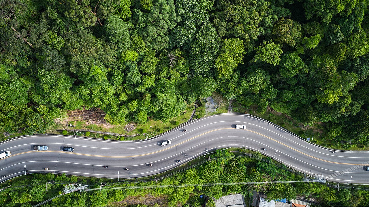
Not only are drones versatile, and tools that can help an architectural technician complete their work more efficiently, but they can also make very expensive work much easier and more affordable to complete. For example, a survey of tree coverage might take a long time and expensive equipment to complete under normal circumstances. With a drone, however, it’s easy to fly a drone up high, perform a scan of the tree coverage, and then use the collected data for analysis and calculation later on.

Drones can help make expensive work, like forest surveys, much less expensive to complete
Software exists to help data, images, and scans collected by drones get integrated with industry-standard applications like AutoCAD, Revit, and other software programs that you may use in your future career. As drones become more common within the industry, you may see them become an integral part of operations at your future place of employment.
Drones Can Help With Post-Construction Analysis of Structures
A model created through building information modeling is meant to be an accurate representation of what a completed structure should look like, and how it should behave for things like energy efficiency, insulation, and other important properties. To ensure a building matches these qualities, a post-construction evaluation is often employed. Once again, drones can facilitate this process.

Drones can be flown around buildings to ensure they match their digital model
Attaching thermal imaging sensors to a drone, for example, will allow for a quick and effective panoramic analysis of a building’s temperature, with opportunities to identify cold or hot locations, or simply determine the overall temperature of the building relative to the outdoors. A regular camera could also be used to fly up to difficult-to-reach locations on the structure to get a close look at how it is holding up days or weeks after construction, or to complete a number of other tasks. Because of their versatility, drones can be used for all kinds of work. For that reason, you may someday see them used to ensure the final product of a constructed building matches the BIM model you created.
Do you want to complete BIM and CAD training?
Contact Digital School to learn how to get started!

